Mapping home
No current dates available

Come and join us to take part in a nationwide mapping project.
People live in all different types of home. Some people live in flats and others in houses. There are people who live on houseboats, in caravans or even castles! You might live in a city or in the country, have a balcony, yard or garden.
Every home is special and how people live and use the spaces in their homes is unique.
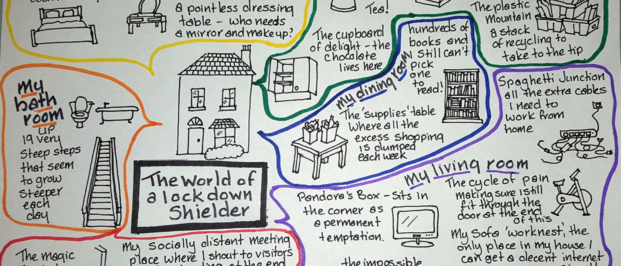
Draw a map of your home to show how your understanding and use of different spaces in your home has changed during the COVID pandemic.
Your map could become part of an online exhibition with Royal Geographical Society (with the Institute of British Geographers) but may also be map of the month on the Mapping Home project website!
Suitable for children and young people aged 8 to 16.
Collect a ticket on the day.
Mapping Home
The Mapping Home initiative is supported by the Arts and Humanities Research Council. The initiative is part of a national collaboration between the University of Liverpool, Queen Mary University London, the Royal Geographical Society with Institute of British Geographers, the Museum of the Home and National Museums Liverpool. The broader project will collect a wide range of stay home stories to understand how ideas and experiences of the home have changed during and after three lockdowns.
In the ‘Mapping home’ strand of the project, school aged children across key stages 2-4 are being invited to create a map of their home. The maps will help us gain a better understanding of how children and young people’s experience of the home space may have changed during the COVID-19 restrictions, while at the same time helping to develop mapping skills and encouraging engagement with a sense of place. The maps will become part of an online exhibition with the Royal Geographical Society with the Institute of British Geographers. Each month we will choose a Map of the Month. This a fabulous opportunity for children and young people to share their excellent work with others across the UK.
